Soukya Road to Hoskote Distance: Routes, Travel Time and Tips
Featured Image of Soukya Road to Hoskote Distance: Routes, Travel Time and Tips


Soukya Road to Hoskote town is about 10 to 14 km, or 20 to 35 minutes by car. The exact figure depends on where you start on the road and which route you take. From the eastern stretch near Hemmandahalli, you reach Hoskote faster than from the Hope Farm end.

Starting Point on Soukya Road Distance to Hoskote Town Usual Drive Time
Western end, near Hope Farm 13 to 15 km 30 to 40 minutes
Middle stretch, near Samethanahalli 11 to 13 km 25 to 35 minutes
Eastern stretch, near Hemmandahalli 10 to 12 km 20 to 30 minutes

How Far Is Hoskote From Soukya Road?


Hoskote sits north-east of Soukya Road, on the far side of the Bengaluru-Chennai railway line. Most drivers cover the trip in under half an hour outside peak hours. That keeps Hoskote close enough for a biryani run, a school drop or a daily factory commute.

The road network here keeps changing, though, so live map apps give you the best daily estimate. Treat the figures in this guide as a reliable starting point, not a fixed promise.

Route 1: Via the Whitefield-Hoskote Road


This is the route most locals use every day, and it stays simple to follow. From Soukya Road, you head north towards the Whitefield-Hoskote road, which was part of the old NH-207. The road passes Mallasandra, home to the main DPS Whitefield campus, before it reaches Hoskote town.

The drive takes about 20 to 35 minutes, based on your start point and the time of day. Expect slow patches near the railway crossing and around school hours near Mallasandra. Once you cross into Hoskote, you meet Old Madras Road (NH-75) close to the town centre.

Route 2: Via the Satellite Town Ring Road


The Satellite Town Ring Road, or STRR, adds a second and faster option as its eastern links open. Its Hoskote to Tamil Nadu border stretch runs close to the eastern end of Soukya Road. Once fully open, this four-lane road lets you reach Hoskote with fewer signals and far less village traffic.

NHAI set a June 2026 target for this stretch, after long delays over a railway overbridge. Check its current status on the NHAI website or a live map before you plan your route. For the full picture, read our guide on what STRR means for Soukya Road.

Route 3: Via Hope Farm and Old Madras Road


If you start near Hope Farm, you can also drive through Kadugodi towards Old Madras Road. This route adds distance, often taking you to 15 km or more, and it crosses busy junctions. Still, it helps when the Hoskote road faces work or heavy truck traffic.

Travel Time at Different Hours


Traffic on this belt follows the school and factory clock more than the IT office clock. Plan your trip with these rough windows in mind.

Time of Day Traffic Level Usual Drive Time
6 am to 7:30 am Light 18 to 25 minutes
7:30 am to 10 am Heavy near schools and junctions 30 to 45 minutes
11 am to 4 pm Moderate 22 to 30 minutes
5 pm to 8 pm Heavy near railway crossing 35 to 45 minutes
After 9 pm Light 18 to 25 minutes

Getting to Hoskote Without a Car


Public transport between Soukya Road and Hoskote works, but it takes planning. BMTC buses run on the Whitefield-Hoskote road, though frequency drops on the smaller village roads. Most residents use cabs or autos for this short hop.

Mode Approx. Cost Notes
Auto rickshaw ₹200 to ₹350 Fix the fare before you start
App cab (mini) ₹280 to ₹450 Fares rise during peak hours
Two-wheeler taxi ₹120 to ₹200 Fastest in traffic
BMTC bus ₹20 to ₹40 Limited frequency near Soukya Road

Why the Soukya Road and Hoskote Link Matters


Hoskote brings a lot within reach of Soukya Road residents. You get the Volvo manufacturing campus, the NH-75 logistics belt and the Bengaluru-Chennai Expressway, which starts at Hoskote. You also get weekend draws like the 808-acre Hoskote Lake and the famous early morning dum biryani stalls.

For families, the Hoskote road leads to DPS Whitefield in Mallasandra and MVJ Hospital on NH-75. For plant managers and engineers, it means a short commute that skips Whitefield's IT traffic completely.

Where Godrej Florenne Sits on This Route


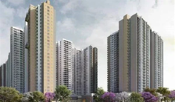
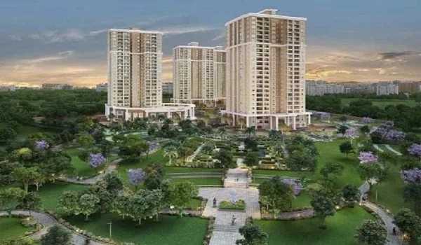
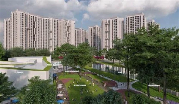
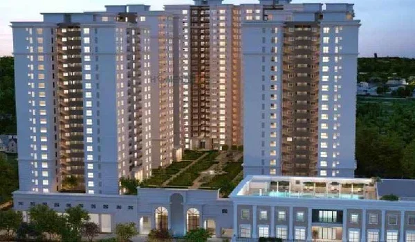
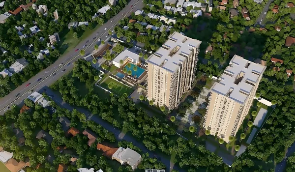
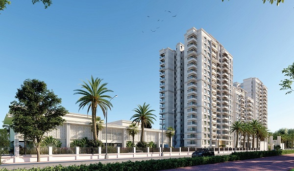
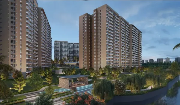
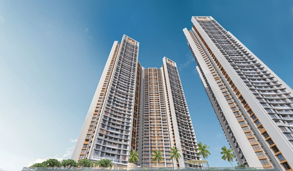
Godrej Florenne sits at Hemmandahalli, on the eastern stretch of Soukya Road, closest to Hoskote. That puts the project 10 to 12 km from Hoskote town, with the STRR about 800 m away. So you can reach Hoskote's jobs, the Chennai Expressway and the airport side without crossing Whitefield.

The community plans 218 G+3 rowhouses on 20 acres, each with two covered car parks and EV charging. You can check the full list of road, rail and metro links on the Godrej Florenne connectivity page.

FAQs


1. What is the distance from Soukya Road to Hoskote?

Soukya Road to Hoskote town is about 10 to 14 km, based on your start point. The eastern stretch near Hemmandahalli sits closest, while the Hope Farm end sits farthest from Hoskote.

2. How long does it take to drive from Soukya Road to Hoskote?

The drive takes 20 to 35 minutes on most days. Peak hours from 7:30 am to 10 am, and after 5 pm, can stretch it to 45 minutes.

3. Which is the best route from Soukya Road to Hoskote?

Most locals use the Whitefield-Hoskote road past Mallasandra. Once the STRR's Hoskote section fully opens, it should add a faster, signal-free route from the eastern end.

4. Is there a bus from Soukya Road to Hoskote?

BMTC buses run on the Whitefield-Hoskote road, but frequency near Soukya Road stays limited. Most residents prefer autos, app cabs or two-wheeler taxis for this short trip.

5. How much does a cab cost from Soukya Road to Hoskote?

An app cab costs around ₹280 to ₹450, based on distance and demand. An auto costs about ₹200 to ₹350, so agree on the fare before you start.

6. Why do Soukya Road residents travel to Hoskote?

Residents go to Hoskote for jobs at Volvo and the logistics belt, and for the Chennai Expressway. Many also visit Hoskote Lake, the biryani stalls and MVJ hospital on NH-75.

Godrej Florenne Blog


Enquiry
Enquire Now