Which Part of Whitefield Is Soukya Road? Location, Map and Distances

Soukya Road sits in the eastern part of Whitefield, beyond Hope Farm and Kadugodi, facing Hoskote. It branches off from the Hope Farm area and runs east through villages like Samethanahalli and Dodda Dunnasandra. Much of the road falls in Hoskote taluk, even though most addresses still say Whitefield.
| Quick Fact | Details |
| Direction | East of Whitefield and Kadugodi |
| Starts near | Hope Farm and the Chikka Tirupati Road side |
| Runs towards | Samethanahalli, Dodda Dunnasandra and the Hoskote belt |
| Taluk | Large parts fall under Hoskote taluk |
| PIN codes | 560067 and 560117 |
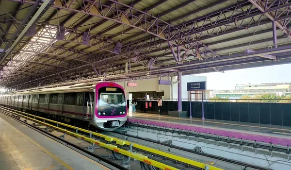
| Nearest metro | Hopefarm Channasandra, Kadugodi Tree Park |